Walton (Ky.)
Item
-
Title
-
Walton (Ky.)
-
Alternate name
-
Gaines Crossroads (Ky.)
-
Description
-
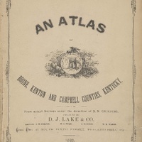
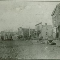
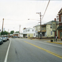
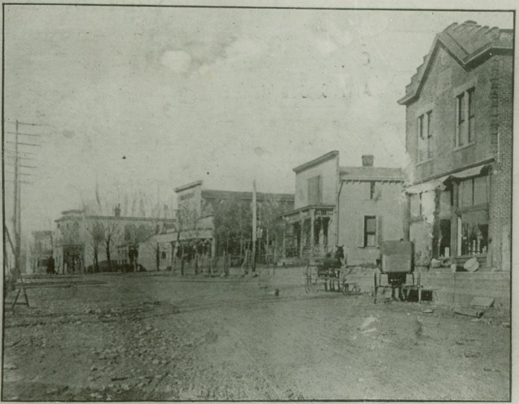
Walton is one of the oldest settlements in Boone County, and grew to be the largest town in the county in the late 19th century, due to the Covington-Lexington Turnpike and the advent of the railroads. With the move to interstate travel, Florence has overtaken Walton as the largest town.
-
The town cemetery, founded by the First Baptist Church of Walton is located north of downtown.
-
Before date
-
1815
-
Identifier
-
USGS GNIS Feature ID: 509314
-
Latitude
-
38.86859534
-
Longitude
-
-84.61338462
-
Target coordinates
-
707235.344 m
-
4304652.959 m
Linked resources
Items with "Political division: Walton (Ky.)"
| Title |
Class |
| Phoenix Hotel Building (Walton, Ky.) |
Location
|
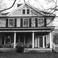
 Professor and Estelle Gordon House (Walton, Ky.) Professor and Estelle Gordon House (Walton, Ky.) |
Location
|
 Rebecca Sleet House (Walton, Ky.) Rebecca Sleet House (Walton, Ky.) |
Location
|
| Reverend R.F. DeMoisey House (Walton, Ky.) |
Location
|
 Richard Chambers House (Walton, Ky.) Richard Chambers House (Walton, Ky.) |
Location
|
| Richey Drugstore Building (Walton, Ky.) |
Location
|
| Richey House (Walton, Ky.) |
Location
|
| Richwood Church Parsonage |
Location
|
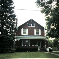 Robert W. Jones House (Walton, Ky.) Robert W. Jones House (Walton, Ky.) |
Location
|
| Robinson Cemetery (Walton, Ky.) |
Location
|
| Ross Cemetery (Walton, Ky.) |
Location
|
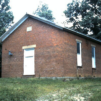 Salem Predestinarian Baptist Church Building (Walton, Ky.) Salem Predestinarian Baptist Church Building (Walton, Ky.) |
Location
|
| Salem Predestinarian Baptist Church Cemetery (Walton, Ky.) |
Location
|
| Salem Predestinarian Baptist Church Site (Walton, Ky.) |
Location
|
 South Main Street Historic District (Walton, Ky.) South Main Street Historic District (Walton, Ky.) |
Location
|
| Stella Cluster House (Walton, Ky.) |
Location
|
| Tenant House and Farm Buildings |
Location
|
| Tomlin Rental House (Walton, Ky.) |
Location
|
| Vernon James House (Walton, Ky.) |
Location
|
| W.L. Norman House (Walton, Ky.) |
Location
|
 Wallace and Mary Scott Grubbs House (Walton, Ky.) Wallace and Mary Scott Grubbs House (Walton, Ky.) |
Location
|
| Walsh Ridenour House (Walton, Ky.) |
Location
|
| Walton Baptist Church Building (Walton, Ky.) |
Location
|
| Walton Cemetery (Walton, Ky.) |
Location
|
 Walton Christian Church Building (Walton, Ky.) Walton Christian Church Building (Walton, Ky.) |
Location
|
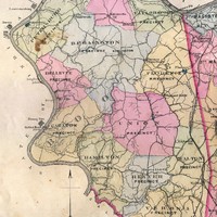 Walton Precinct (Boone County, Ky.)