Limaburg (Ky.)
Item
-
Title
-
Limaburg (Ky.)
-
Alternate name
-
Florence Crossroads (Ky.)
-
Description
-
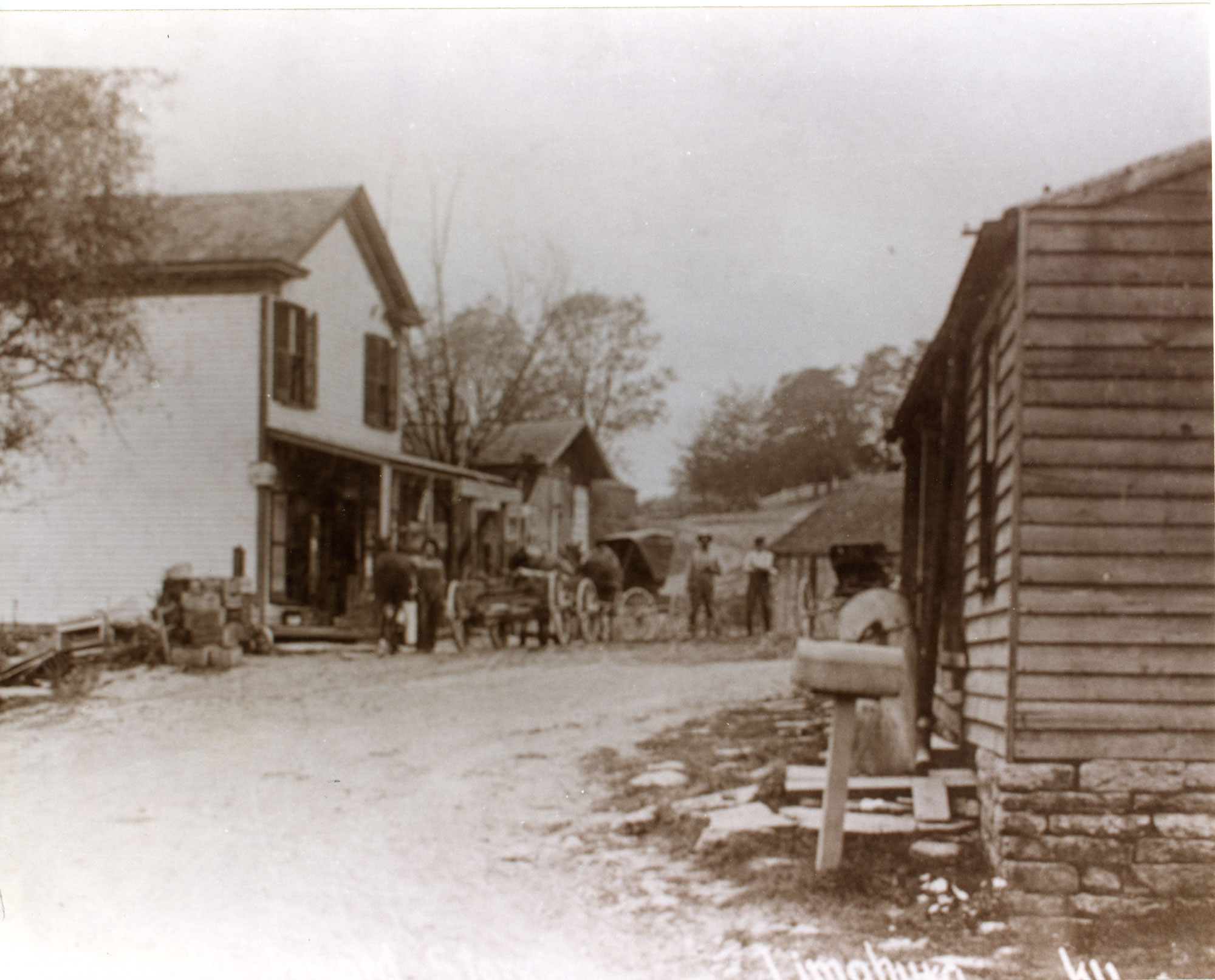
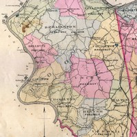
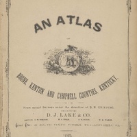
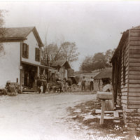
Listed as Florence Crossroads on the 1883 Boone, Campbell, and Kenton Counties, KY Atlas, Limaburg was located east of Burlington on Burlington-Florence Pike (Route 18) where Gunpowder Creek crosses the road. Much of the original town was lost with the reroute and expansion of Burlington-Florence Pike in the late 20th century. The little town once was home to a general store, a black smithy, a mill and a toll house with gate.
-
Before date
-
1883
-
Identifier
-
USGS GNIS Feature ID: 496539
Linked resources
Items with "Resided in: Limaburg (Ky.)"
| Title |
Class |
| Rouse family |
Organization
|
 Florence Precinct (Boone County, Ky.)

 Historic Limaburg