Big Bone (Ky.)
Item
-
Title
-
Big Bone (Ky.)
-
Alternate name
-
Big Bone Lick (Ky.)
-
Description
-
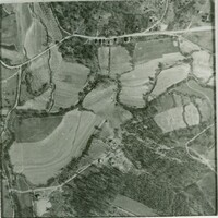
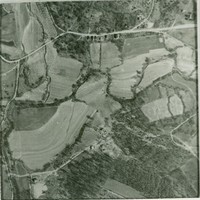
Big Bone, Kentucky, is an area in southern Boone County. It is bounded on the west by the Ohio River, and Rabbit Hash, on the south by Big Bone Creek, which empties into the river at Big Bone Landing. The northern extent is along Hathaway Road, and the eastern portion extends not further than U.S. 42, and is approached from that direction by Beaver Road (Route 338) coming from either Richwood or Walton.
-
The hamlet of Big Bone gained some status in the early 1900s, and a railway was proposed several times, but never materialized.
-
Before date
-
1830
-
Identifier
-
USGS GNIS Feature ID: 487080
Linked resources
Items with "Political division: Big Bone (Ky.)"
| Title |
Class |
| Big Bone Lick State Historic Site (Ky.) |
Location
|
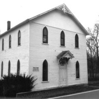 Big Bone Methodist Church Building (Big Bone, Ky.) Big Bone Methodist Church Building (Big Bone, Ky.) |
Location
|
| Big Bone Salt Springs (Boone County, Ky.) |
Location
|
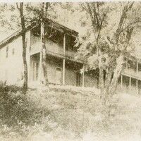
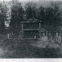 Big Bone Springs Health Resort (Big Bone, Ky.) Big Bone Springs Health Resort (Big Bone, Ky.) |
Location
|
| Black Cemetery (Big Bone, Ky.) |
Location
|
 Clay Hotel Building (Big Bone, Ky.) Clay Hotel Building (Big Bone, Ky.) |
Location
|
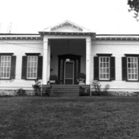
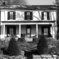 Dr. John E. Stevenson House (Big Bone, Ky.) Dr. John E. Stevenson House (Big Bone, Ky.) |
Location
|
| Dudgeon Cemetery (Big Bone, Ky.) |
Location
|
| Mrs. M. Miller Farm (Big Bone, Ky.) |
Location
|
 Mrs. M. Miller House (Big Bone, Ky.) Mrs. M. Miller House (Big Bone, Ky.) |
Location
|
| Public School No. 39 Building (Big Bone, Ky.) |
Location
|
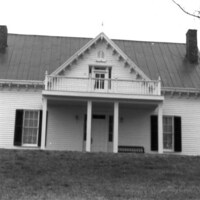 William Milburn Glore House (Big Bone, Ky.) William Milburn Glore House (Big Bone, Ky.) |
Location
|
| Wright Carpenter Cemetery (Big Bone, Ky.) |
Location
|
| Zachary Baker Cemetery (Big Bone, Ky.) |
Location
|
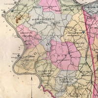 Hamilton Precinct (Boone County, Ky.)
 Big Bone Region (Boone County, Ky.)

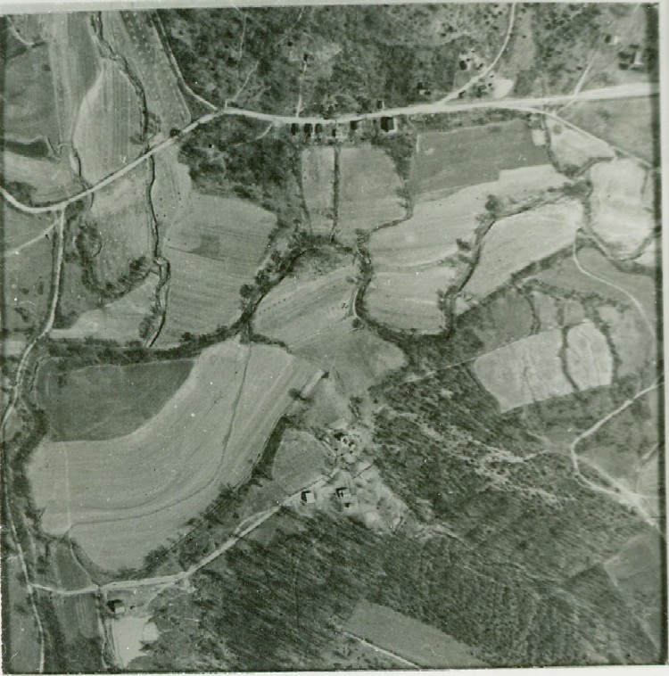
 Aerial view of Big Bone