Union (Ky.)
Item
-
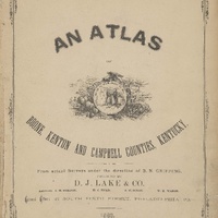
Title
-
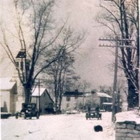
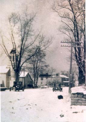
Union (Ky.)
-
Description
-
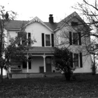
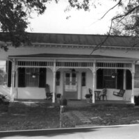
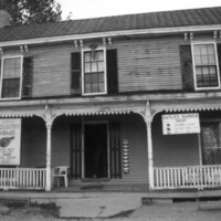
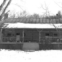
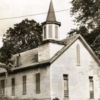
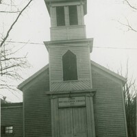
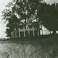
In the central part of Boone County, the Aylor, Fowler, Stansifers and Steers families were among those contributing to the early settlement of the Union area along Fowler's Branch of Gunpowder Creek. In c. 1817 Benjamin Piatt Fowler built a magnificent stone house on part of his father's 5000 acres and, in 1818, Revolutionary War veteran Hugh Steers (buried on the eighteenth green of today's Lassing Pointe Golf Course), donated land for the Bethel Baptist Church on Frogtown Road.
-
The town of Union developed at the crossroads of the Covington-Louisville Road and the Gaines Old Stand-Visalia Road and was designated a United States Post Office in 1830.
-
Before date
-
1830
-
Identifier
-
USGS GNIS Feature ID: 505762
-
Related resource
-
The official website of Union, Kentucky
-
Browse photographs and resources about Union
-
VIDEO: "The History of the Union, Kentucky", presented by Bruce Ferguson, 2004 (part 1)
-
VIDEO: "The History of the Union, Kentucky", presented by Bruce Ferguson, 2004 (part 2)
-
VIDEO: "The History of the Union, Kentucky", presented by Bruce Ferguson, 2004 (part 3)
-
VIDEO: "The History of the Union, Kentucky", presented by Bruce Ferguson, 2004 (part 4)
-
Latitude
-
38.94765873
-
Longitude
-
-84.66982628
-
Target coordinates
-
700973.857 m
-
4313311.086 m
Linked resources
Items with "Political division: Union (Ky.)"
| Title |
Class |
 G. Huey House (Union, Ky.) G. Huey House (Union, Ky.) |
Location
|
 H. Tucker House (Union, Ky.) H. Tucker House (Union, Ky.) |
Location
|
| Hamilton-Chambers Cemetery (Union, Ky.) |
Location
|
 Joseph C. Hughes House (Union, Ky.) Joseph C. Hughes House (Union, Ky.) |
Location
|
 L.C. Norman House (Union, Ky.) L.C. Norman House (Union, Ky.) |
Location
|
| Philip Baker Cemetery (Union, Ky.) |
Location
|
 R.T. Clements House (Union, Ky.) R.T. Clements House (Union, Ky.) |
Location
|
| Rouse Dairy Barn |
Location
|
| Rouse Tobacco Barn |
Location
|
| Schwenke Tobacco Barn |
Location
|
| Stansifer-Utz Cemetery (Union, Ky.) |
Location
|
| Steers Cemetery (Union, Ky.) |
Location
|
 Sullivan Homestead Sullivan Homestead |
Location
|
 Union Baptist Church Building (Union, Ky.) Union Baptist Church Building (Union, Ky.) |
Location
|
 Union Deposit Bank Building (Union, Ky.) Union Deposit Bank Building (Union, Ky.) |
Location
|
 Union High School Building (Union, Ky.) Union High School Building (Union, Ky.) |
Location
|
 Union Presbyterian Church Building (Union, Ky.) Union Presbyterian Church Building (Union, Ky.) |
Location
|
| Union Rice Cemetery (Union, Ky.) |
Location
|
| Vic Farm (Union, Ky.) |
Location
|
 White Haven Academy Building (Union, Ky.) White Haven Academy Building (Union, Ky.) |
Location
|
| William A. Tanner House (Union, Ky.) |
Location
|
| Wilson Cemetery (Union, Ky.) |
Location
|
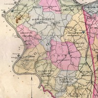 Union Precinct (Boone County, Ky.)