Boone County GIS
Item
-
Title
-
Boone County GIS
-
Creator
-
Boone County Planning Commission (Ky.). GIS Services Division
-
Publisher
-
Boone County Planning Commission (Ky.)
-
Place
-
Burlington, KY
-
Language
-
English
-
Description
-
Boone County GIS currently hosts several web mapping applications that provide valuable information about Boone County, Kentucky.
-
Accessed at Boone County Public Library, Burlington, KY
Linked resources
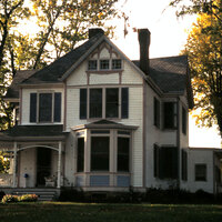
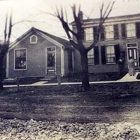
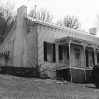
Items with "Source: Boone County GIS"
| Title |
Class |
| All Saints Catholic Church Building (Walton, Ky.) |
Location
|
| Allen Cemetery (Boone County, Ky.) |
Location
|
 Allie Corn House (Boone County, Ky.) Allie Corn House (Boone County, Ky.) |
Location
|
| Allphin Cemetery (Boone County, Ky.) |
Location
|
 Alonzo Gaines House (Hebron, Ky.) Alonzo Gaines House (Hebron, Ky.) |
Location
|
| Amazing Grace Lutheran Church Building (Boone County, Ky.) |
Location
|
| Anderson Cemetery (Boone County, Ky.) |
Location
|
| Anderson Ferry House (Constance, Ky.) |
Location
|
| Andrew Donaldson House (Petersburg, Ky.) |
Location
|
| Andrew J. Dolph House (Rabbit Hash, Ky.) |
Location
|
| Andrews Barn (Boone County, Ky.) |
Location
|
| Ann Popham Cemetery (Hebron, Ky.) |
Location
|
| Archangel Orthodox Mission Church Building (Boone County, Ky.) |
Location
|
| Arnold Farm (Boone County, Ky.) |
Location
|
 Arnold's Candy Store Building (Florence, Ky.) Arnold's Candy Store Building (Florence, Ky.) |
Location
|
| Arrasmith Farm (Boone County, Ky.) |
Location
|
| Ashby Fork Creek Bridge (Boone County, Ky.) |
Location
|
| Aylor-Martin Farm (Boone County, Ky.) |
Location
|
 B.C. Calvert House (Rabbit Hash, Ky.) B.C. Calvert House (Rabbit Hash, Ky.) |
Location
|
| B.F. Rogers Farm (Boone County, Ky.) |
Location
|
| B.L. Rice Barn (Boone County, Ky.) |
Location
|
| B.L. Rice House (Boone County, Ky.) |
Location
|